Automatic Optical Level
Automatic Optical Level
Automatic Optical Level
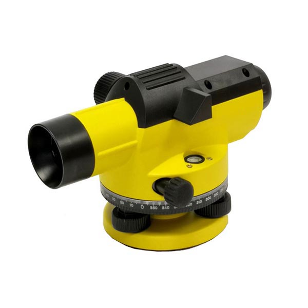
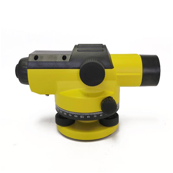
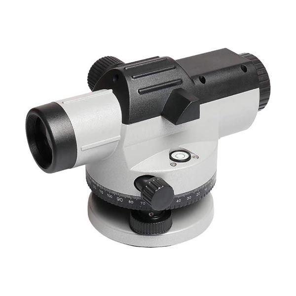
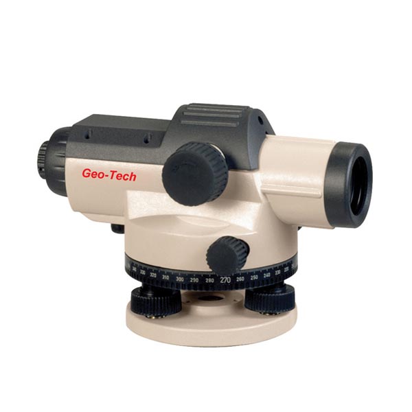
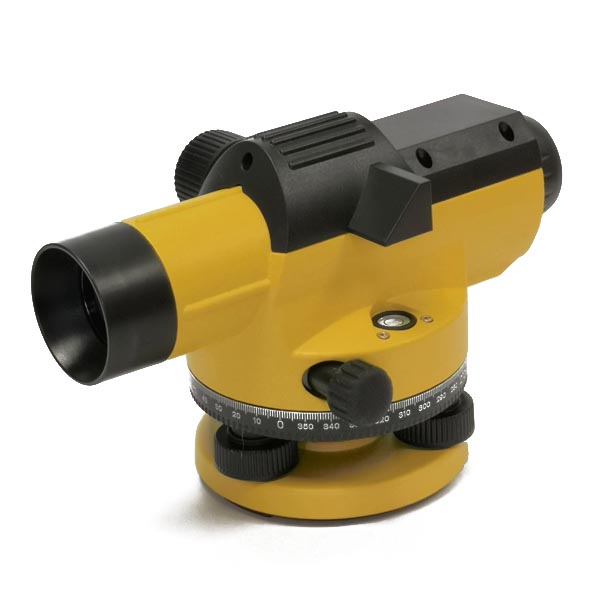
Model DAL
Features:
Large aperture
Wire-hung air dampened compensator
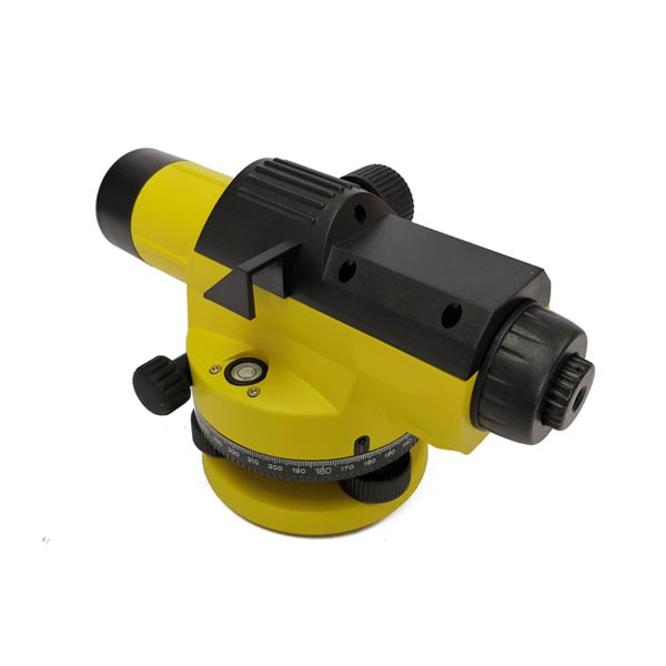
Built-in sighting scope and bubble vial
Soft control knobs
Horizontal circle in 360 degree or 400 gon
Infinite tangent screw
Standard 5/8 tripod connecting thread
Standard outfit:
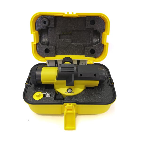
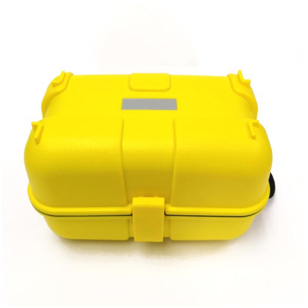
Auto level, hard carrying case, plumb bob, lens cap, allen wrench, adjusting pin and instruction manual.
Ordering Information:
Model | DAL |
Brand | GeoTech, Neutral Packaging or Customer’s brand |
Place of origin | Made in |
M.O.Q. | 12units |
Lead time | 7-10 work days |
Payment terms | T/T, Paypal |
Shipping terms | EXW, FOB, CFR, CIF,DDU |
Shipping method | Courier, air, sea |
Place of delivery | Worldwide |
Packaging | 1unit/box, 4units/carton |
Free sample service | For qualified purchaser |
Customized service | Yes. See below. |
private label/logo printing | Instrument, carry case (MOQ:50units) |
Inner box, outer carton (MOQ:50units) | |
User’s manual, black/white only (MOQ:50units) | |
appearance color | Black/yellow, black/grey, blue/grey (No MOQ) |
Customer’s color (MOQ:100units) | |
mechanical assembly | 360 degree or 400gon scale (No MOQ) |
5/8” or Metric tripod connecting thread (No MOQ) | |
optical System | No |
Electronic/Software | No |
What is an automatic optical level used for?
An automatic optical level is a surveying instrument used to measure and establish horizontal planes with high precision. Its primary applications include:
1. Levelling
Site Preparation: Used in construction and landscaping to ensure that surfaces are level before laying foundations, roads, or other infrastructure.
Elevation Measurement: Helps measure differences in elevation between points to establish a consistent level plane.
2. Surveying
Topographic Surveys: Essential for mapping terrain and determining elevations at various points on a site.
Property Boundaries: Used to establish and mark property lines and boundaries accurately.
3. Construction
Building Foundations: Ensures that the foundation of a building is level and meets design specifications.
Road and Bridge Construction: Used to confirm that roadways, bridges, and other structures are built to the correct level.
4. Landscaping
Grade Control: Assists in creating and maintaining slopes and contours for landscaping purposes.
Irrigation Systems: Ensures that irrigation systems are level for effective water distribution.
5. Civil Engineering
Infrastructure Projects: Utilized in large-scale civil engineering projects, such as dams, tunnels, and pipelines, to ensure proper alignment and levelness.
6. Utilities and Drainage
Sewer and Drainage Systems: Ensures that sewer and drainage systems are installed at the correct gradient for proper flow.
Key Features of an Automatic Optical Level:
Automatic Leveling: Equipped with a compensator that automatically adjusts the optical axis to maintain a horizontal line, even if the instrument is slightly tilted.
Ease of Use: Simplifies the leveling process for users, making it more accessible for professionals and reducing the likelihood of human error.
Precision: Provides accurate readings and ensures that surfaces and structures are correctly aligned and level.
Overall, an automatic optical level is an essential tool in various fields where precise leveling and alignment are required. It combines optical clarity with automatic compensation to ensure reliable and accurate results.

