1.8m 4 sections Carbon Fiber GNSS Rover Pole

1.8m 4 sections Carbon Fiber GNSS Rover Pole
1.8m 4 sections Carbon Fiber GNSS Rover Pole
Model GRP-180
Features:
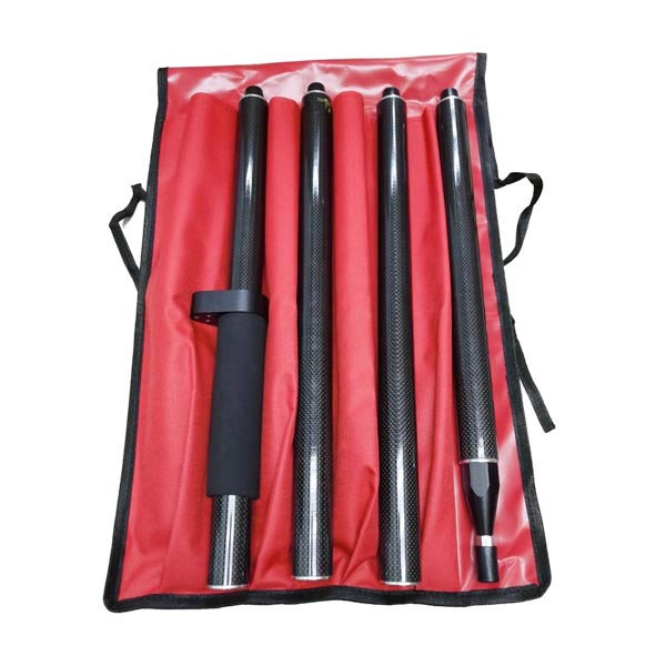
The pole set includes four individual carbon fiber poles, each measuring 0.45 meters in length
Four carbon fiber poles, ensuring strength and lightweight performance.
5/8" connecting thread for secure attachment.
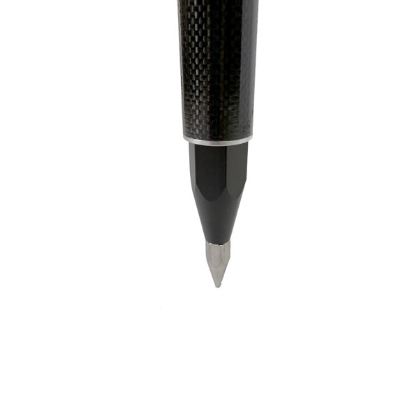
Durable stainless steel tip for enhanced stability.
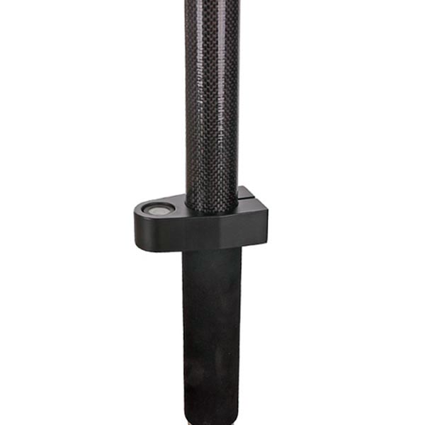
Aluminum holder equipped with a 20’ circular bubble level for accurate alignment.
Ergonomically designed, non-slip handle for comfortable operation.
Comes with a nylon carry bag for easy and convenient transport.
Specifications:
Model | GRP-180 |
Section & Type | 4sections, 4pieces |
Tube Material: | Carbon Fiber, Dia 32mm |
Closed Length | 45cm |
Extended Length | 180cm |
Circular Vial | 20’ |
Compass | No |
Connecting thread | 5/8’’ |
Net Weight | 0.95Kgs |
Ordering Information:
Model | GRP-180 |
Brand | GeoTech, Neutral Packaging or Customer’s brand |
Place of origin | Made in |
Price | To be quoted |
M.O.Q. | 10pcs |
Lead time | 7-10 work days |
Payment terms | T/T, Paypal |
Shipping terms | EXW, FOB, CFR, CIF,DDU |
Shipping method | Courier, air, sea |
Place of delivery | Worldwide |
Packaging | 1pc/box, 20pcs/carton |
Customized service | Yes |
Free sample service | For qualified purchaser |
What is a GNSS rover pole used for?
A GNSS rover pole is used in surveying and geospatial applications to hold and position a GNSS (Global Navigation Satellite System) receiver above the ground. Here's a breakdown of its purpose and functionality:
Positioning: The pole provides a stable and adjustable height for the GNSS receiver, ensuring that it is at the correct elevation for accurate measurements. This is crucial for precise positioning and data collection.
Height Measurement: By elevating the GNSS receiver above the ground, the pole helps in obtaining accurate height or elevation data, which is essential for various surveying tasks.
Stability: The pole provides stability to the GNSS receiver, reducing potential errors caused by movement or vibrations. This is particularly important in challenging field conditions.
Ease of Use: The pole typically has adjustable sections, allowing the surveyor to set the receiver at the appropriate height for different types of measurements or site conditions.
In practice, a GNSS rover pole is often used in conjunction with a GNSS base station to collect accurate location data for mapping, construction, and other surveying applications.


